Back in December I traveled to southern California for a work project in Calabasas, an affluent enclave tucked into a corner on the fringe of Los Angeles County between the placid Simi Hills and the more rugged Santa Monica Mountains. It's the home of the Kardashians among others.
This was going to be one of those work trips with benefits as sometimes happens when the moon is in the Seventh House and Jupiter aligns with Mars. I could fly into Bob Hope arriving Sunday morning, go for a hike, then be ready for my appointment in Calabasas first thing Monday morning. Staying with family in bucolic Simi Valley was the other benefit.
To thwart perfection, rain was in the forecast. Descending through misty skies, breaking into the clear, the pilot brought the sleek CRJ700 to a feather-light touchdown onto the wet runway. This was followed immediately by the lurching panic slow down as the reverse thrust powered up to stop the plane before the end of the all too short runway at Bob Hope. Bob Hope is one of the few remaining airports where you actually deplane to the outside on air stairs. It had obviously recently rained but looked to be clearing out. The air was warm compared to what I had just left in Seattle.
My plan was to hike the short 1.5 mile trail to the top of Sandstone Peak. At 3,111 feet (948 meters) it is the highest point in the Santa Monica Mountains. For all the first 35 years of my life that I lived in southern California, I had never explored the Santa Monicas. I lived way out on the eastern side of the LA Basin where my boyhood was spent roaming the Puente Hills and later hiking the San Gabriels and the Sierras. The Santa Monicas were never a convenient destination. I'd driven by the Santa Monicas by way of the the Ventura Freeway US 101 on many occasions over the years when I lived in California and so my curiosity was aroused for the future file. The future finally became convenient.
I had programmed trailhead coordinates into Mr. Tom Tom so the course was set. Getting to the trailhead required navigating several miles of narrow winding roads. The recent rains caused small rock falls onto the road surface that I slalomed around. Clouds shrouded and then revealed the higher ridges and mountaintops in a mystical fashion.
Occasional sprinkles prompted intermittent wiper action on the drive and
the threat of rain was in the air.
Arriving at the trailhead there was but one car parked in the lot. And this was a Sunday when you'd expect an overflowing trailhead parking lot. These southern Californians are weather weenies. The weather was overcast and a little breezy with some occasional sprinkles. But nothing to dissuade me after 22 years of living in western Washington.
Equipped with a Marmot Precip jacket as my only protection against the raging elements, I started up the trail. The trail up to Sandstone Peak is a wide fire road, closed to motor vehicles, and no longer really maintained as a fire road as far as I could tell; just a wide trail. The rains had left the trail muddy in places, caking my boot soles with raw adobe brick material. Adobe was a favored building material in the early days of Spanish California as seen in the string of missions they established along coastal California.
The trail gently climbed, contouring upward. Clouds drifted in and out with the wind. The sun found openings in the clouds and spotlighted cross-canyon hillsides. A tunnel view down Little Sycamore Canyon gave a distant peek-a-boo view of the Pacific Ocean, dark and gray under overcast skies. Some good views were had of the San Fernando Valley to the east. Otherwise, on this day, the clouds ruled.
The last little scramble to the Sandstone Peak summit involved a little guess work on my part because of the obscuring cloud cover and my unfamiliarity with the area. After the trail leveled out I had a sense that I was close to the summit. Several scramble trails branched off to my left through the brush. I figured one of those would get me to the top and so I followed one. It was just a short Class 2 scramble up and across the rocks that make up the summit. When I reached the summit, I was in the clouds. Visibility was limited to a few tens of feet. No views from the summit were had on this day.
Leaving the summit, I took a slightly different way back down to the main trail, a way that required a couple brush belays at steeper areas. At the main trail, I headed back down the way I came. Through the day, I only saw three people on the trail. It was a good day.
Notes on geology: Sandstone Peak is not really made of sandstone, though it looks somewhat like sandstone and affords good traction underfoot like sandstone. The rock of Sandstone Peak and the surrounding area is actually volcanic in origin, not sedimentary as sandstone is. The rock that makes up Sandstone Pea
k (dacitic and andesitic breccias), are part of the Conejo Volcanics formation that erupted some 16.1 to 13.1 million years ago. The Conejo Volcanics were formed as a result of colliding crustal plates, when an oceanic plate, the Farallon Plate, was subducted under the North American plate. The resulting friction and melting of the Farallon Plate caused the eruption and formation of volcanoes, similar to the Cascade volcanoes, and the accumulation of thousands of feet of volcanic rock; the Conejo Volcanics we see today in the Santa Monica Mountains and on the Channel Islands. The Santa Monica Mountains are part of the Transverse Ranges that include the other neighboring east-west trending mountain ranges, the San Gabriel Mountains and the San Bernardino Mountains. The plate collisions responsible for the eruption and formation of the Conejo Volcanics also wrenched the Transverse Ranges into their east-west trending position, which is different from the majority of California mountain ranges, which generally trend more northwest-southeast in parallel with the San Andreas fault.
Photos:
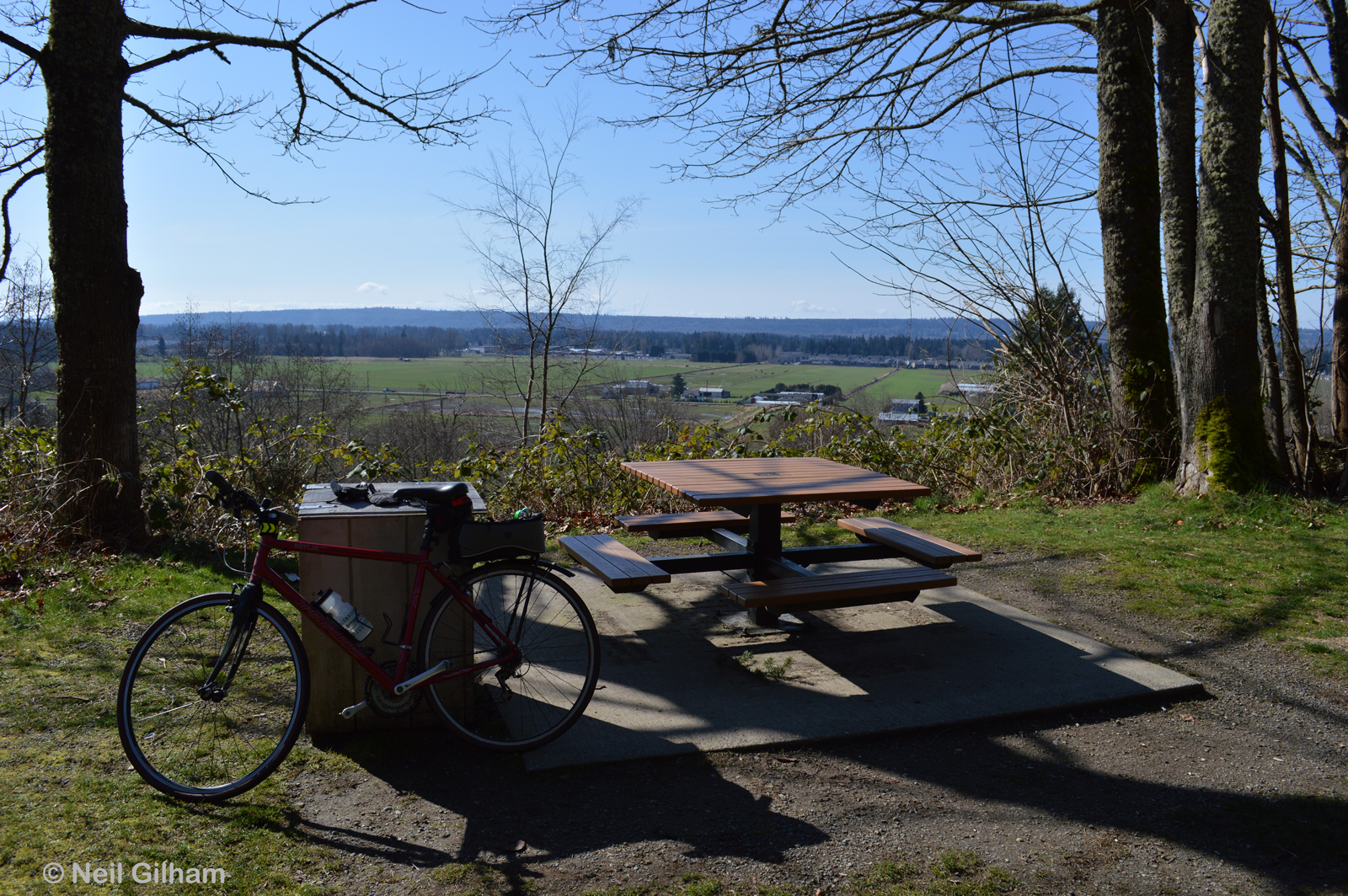
The trailhead, my car (rental) and one other one.
The FYI
The roads traveled.
Clouds shroud the ridge tops.
Cliffs of volcanic rock, layers like pages in a history book.
Down Little Sycamore Canyon, the distant Pacific Ocean, cold and dark gray.
East to the San Fernando Valley.
Sun spotlight.
Summit plaque. Sandstone Peak is alternatively know as Mt. Allen. W. Herbert Allen was the benefactor of the Circle X Ranch, a former Boy Scout camp, now part of the Santa Monica Mountains National Recreation Area administered by the National Park Service.
During
the 1960s, in an attempt to honor Circle X benefactor Herbert Allen, the Scouts
petitioned the United States Department of the Interior to rename Sandstone
Peak. The request for “Mt. Allen” was denied because of a long-standing policy
that prohibited naming geographical features after living persons.

Many common names for it: chaparral
yucca, our
Lord's candle, Spanish bayonet, Quixote yucca, common
yucca, foothill yucca. Scientific name: Hesperoyucca whipplei. This is the common yucca native to southern California hillsides as part of the chapparal plant community. This plant
takes several years to reach maturity and flower and thereafter it usually dies. After the main plant dies after flowering, a cluster of clones are produced at the base and continue to grow and reproduce. The plant is pollinated exclusively by the California yucca moth (Tegeticula maculata). Working at night, the female yucca moth collects up to a dozen sacks of pollen
grains and forms them into a ball. She then flies to another plant and lands
on the ovary of a flower. Standing with her head near the stigma,
she inserts her ovipositer into the ovary wall and lays a single egg.
She then rubs her pollen mass against the stigma to pollination. The pollinated ovary will now produce many
seeds, ensuring an ample food supply for the moth's larva.

Common names for this succulent are: chalk lettuce, chalk dudleya, and chalk liveforever. Scientific name: Dudleya pulverulenta. This plant is native to the southwestern United States and northern Mexico. I found it growing well in the rocks at the Sandstone Peak summit. The plant is covered in a dusty looking "wax." Unlike the typical hydrophobic nature of wax, the wax coating of this plant is hydrophilic. When water drops land on this plant they become coated with the wax, increasing their surface tension and size and preventing their evaporation. Wax that has washed off the leaves also coats the ground around the base of the
plant, preventing evaporation. Just one adaptation for surviving in a dry climate.
The route.